The centerpiece of the announcement is Geotab Investigations, a unified system designed to replace the fragmented, manual processes currently used to resolve road incidents. By consolidating telematics data, location history, and external documents—such as photos or reports—into a structured digital record, the company aims to help fleet managers reconstruct event timelines more efficiently. This system provides a defensible record for insurance and legal purposes, addressing the common problem of siloed data that often complicates incident resolution.
Geotab expands fleet safety suite with automated incident investigation
With 95% of European fleet managers reporting increased collision risks over the last five years, Geotab has unveiled a new suite of safety tools at IAA Hannover. The platform update aims to move beyond simple monitoring by integrating incident investigation, video coaching, and automated violation detection into a single workflow.
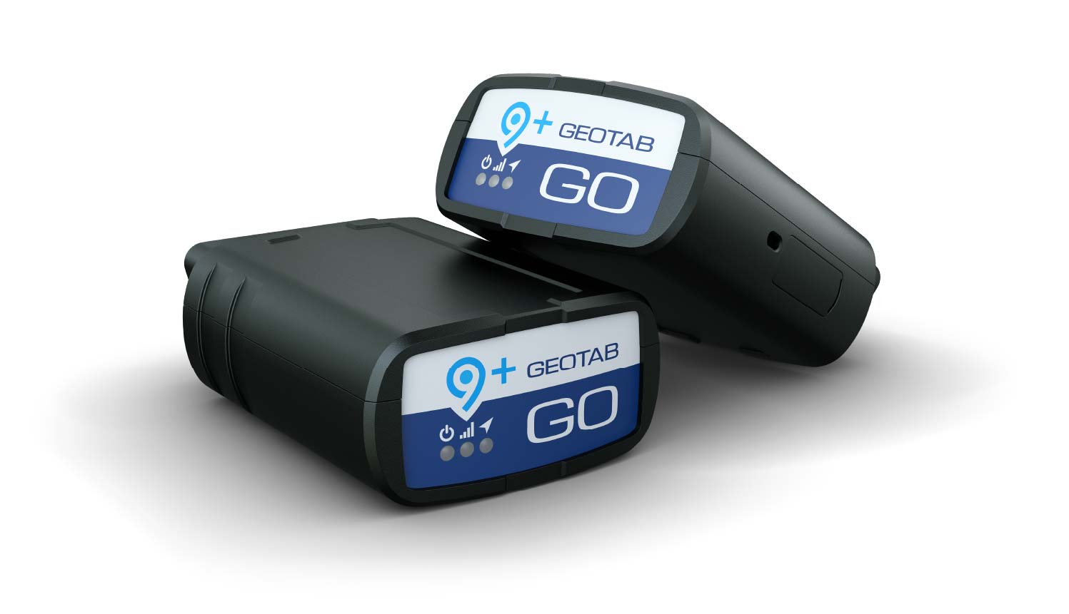
Beyond investigative tools, Geotab is broadening its safety ecosystem to include a redesigned Safety Overview Page and expanded video coaching capabilities. The new overview page provides a 0–100 safety metric and peer benchmarking, allowing managers to identify high-risk drivers at a glance. Furthermore, the company is extending its AI-powered video coaching to additional camera hardware, including Lytx Surfsight and Xirgo models, and introducing red-light violation detection for its existing GO Focus cameras. These updates follow successful pilot programs, such as those at Richfords and Barhale, which saw double-digit reductions in collision risks after implementing Geotab’s integrated data approach.

Comments (0)
No comments yet. Be the first!